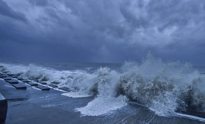
Red Alert Issued: Tamil Nadu gears up for Cyclone Fengal

On November 26th the India Meteorological Department (IMD) issued a yellow signal for a number of districts in Tamil Nadu and a red alert for four districts in delta areas. On November 27th it will also issue a red alert for two more districts in Tamil Nadu.
According to the most recent IMD bulletin at 8:30 a.m on November 26th, the depression over the Southwest Bay of Bengal deepened into a depression.
In the next four to five days, heavy to very heavy rainfall is predicted in numerous areas of Tamil Nadu and Puducherry, according to meteorological warnings issued by the Met department.
Additionally on November 27th it is anticipated that the deep depression over the Southwest Bay of Bengal and the nearby East Equatorial Indian Ocean will shift almost northwest and strengthen into a cyclonic storm. Then during the next two days, it will keep moving north-northwest toward the coast of Tamil Nadu while avoiding the coast of Sri Lanka.

According to the World Meteorological Organization’s (WMO) cyclone naming guidelines, the deep depression will be called Fengal as it develops into a cyclonic storm. Up until November 27th the event is predicted to bring exceptionally high levels of rainfall to Puducherry and coastal Tamil Nadu.
“The Depression over Southwest Bay of Bengal moved north-northwestwards with a speed of 12 kmph during past 6 hours intensified into a deep depression and lay centred at 0830 hours IST of today, the 26th November 2024 over the same region near latitude 6.3°N and longitude 82.8°E about 310 km southeast of Trincomalee, 590 km south-southeast of Nagappattinam, 710 km south-southeast of Puducherry and 800 km south-southeast of Chennai. It is very likely to continue to move north-northwestwards and intensify further into a cyclonic storm on 27th November. Thereafter, it will continue to move north-northwestwards towards Tamil Nadu coast skirting Sri Lanka coast during subsequent 2 days. A continuous watch is being maintained for the movement and intensification of the system.” said IMD in its latest post on X.
On November 26th IMD issued a red alert for the districts of Nagapattinam, Thiruvarur and Mayiladuthurai as well as the Karaikal area citing the potential for exceptionally heavy rainfall in numerous locations throughout these four districts. A red alert has been issued for Mayiladuthurai, Cuddalore and the Karaikal region for November 27.
The warmer sea surface temperatures in the Bay of Bengal which are between 28 and 30 degrees Celsius are probably making the low pressure system stronger. The deep depression was last observed 800 kilometers from Chennai, 590 kilometers south-southeast of Nagappattinam and 310 kilometers southeast of the port city of Trincomalee on Sri Lanka’s northeast coast.
Winds near the system are strong (25-30 knots, gusting to 35 knots) and the sea will be rough along the Tamil Nadu, Puducherry, Andhra Pradesh and Sri Lankan coasts until November 29.
Coastal regions should prepare for strong winds, rough seas and heavy rainfall. The system may bring dangerous conditions from November 27 to 29 especially for Tamil Nadu, Puducherry and Andhra Pradesh.
Also Read | Samvidhan Diwas 2024: Remembering Dr. B.R. Ambedkar’s Vision


